
Helicopter flight
Download:
 HI-RES JPEG (Size:
A helicopter flew over the Galileo Test and Development Environment –
GATE – in Berchtesgaden, Germany, to gather data on how Europe’s two
satellite navigation systems – EGNOS and Galileo – will work together in
future. The helicopter flew a variety of manoeuvres, from fast loops to
mid-air hovering, to see how satnav signals were received in practice.
The promising results from the 24-16 August testing are now being
analysed.
Credits: ESA - S. Corvaja
A helicopter recently flew over a very special Alpine valley to gather
data on how Europe’s two satellite navigation systems – EGNOS and
Galileo – will work together in future.
The helicopter flew a variety of manoeuvres, from fast loops to mid-air hovering, to see how satnav signals were received in practice. The promising results are now being analysed.
The helicopter flew a variety of manoeuvres, from fast loops to mid-air hovering, to see how satnav signals were received in practice. The promising results are now being analysed.
The airborne testing, which took place in Germany on 24–26 September,
was based around prototype signals of the next generation of the
European Geostationary Navigation Overlay Service – EGNOS – combined
with simulated Galileo signals.
EGNOS, the first pan-European satellite navigation system, works by sharpening the accuracy of US GPS signals.

Receiving equipment
Download:
 HI-RES JPEG (Size:
Receiving equipment on the helicopter picking up EGNOS and simulated
Galileo signals during testing at the Galileo Test and Development
Environment – GATE – a giant outdoor laboratory around Berchtesgaden in
the Bavarian Alps where prototype Galileo receivers can be used freely
without any modifications. Transmitters atop eight neighbouring mountain
peaks blanket 65 sq km of territory with satnav signals. Credits: ESA - S. Corvaja
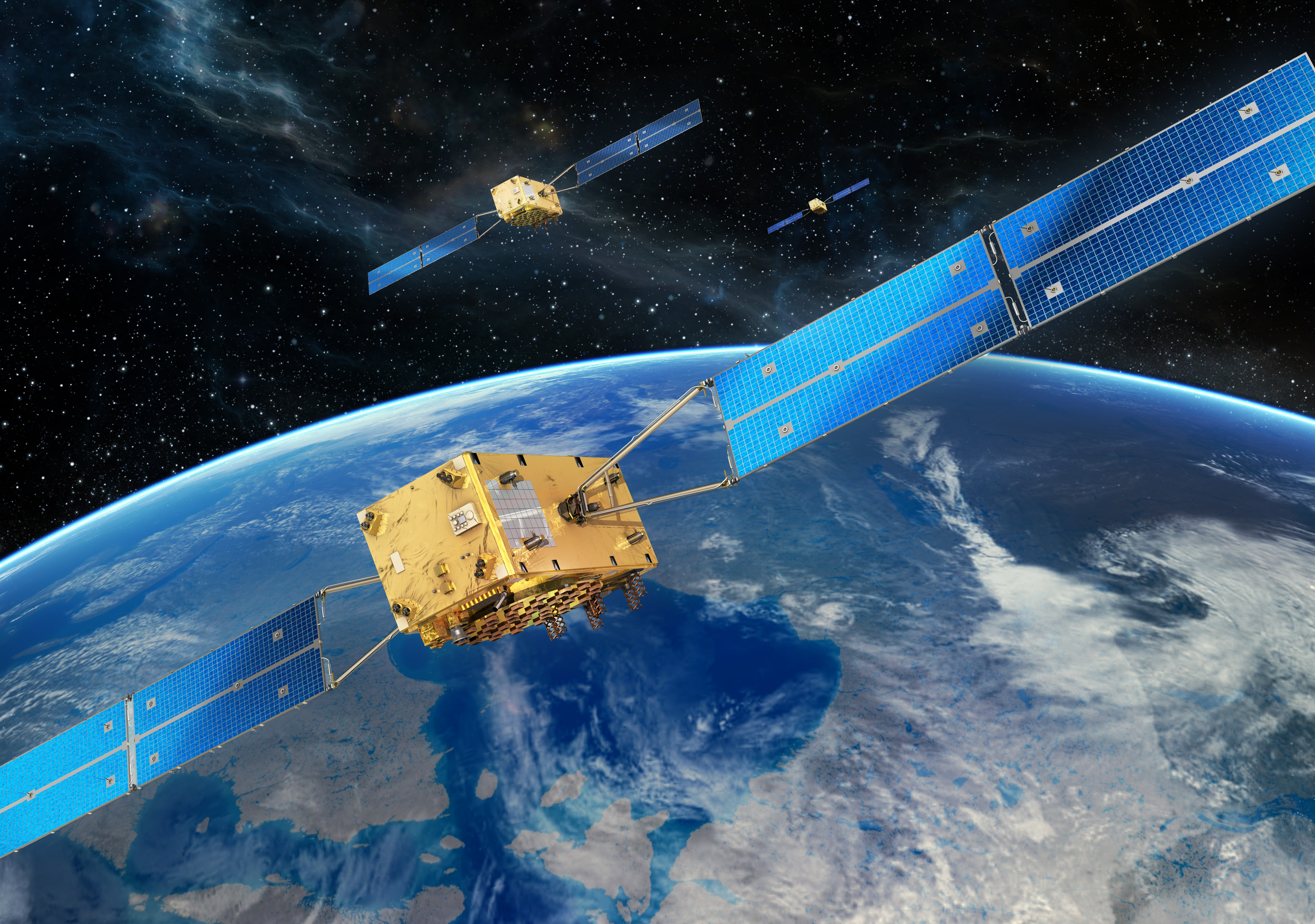
The first four Galileo satellites have been placed in orbit – the
minimum needed to provide basic navigational services. It will take many
more to provide global coverage.
But there is one place in Europe where full Galileo service coverage is
already a reality: the town of Berchtesgaden in the Bavarian Alps has
transmitters atop eight neighbouring mountain peaks to blanket 65 sq km
of territory with satnav signals.
The result is the Galileo Test and Development Environment – GATE – a
giant outdoor laboratory where prototype Galileo receivers can be used
freely without any modifications.

Galileo Test and Development Environment
Download:
 HI-RES JPEG (Size:
The Galileo Test and Development Environment (GATE) in Berchtesgaden
amid the Bavarian Alps is a test range equipped with Galileo-like
transmitters placed in high points for testing in advance of this
European GNSS system becoming operational.
Credits: IFEN
Kept busy by European industrial and research teams, GATE is owned by
the DLR German Aerospace Center. ESA’s Global Navigation Satellite
Systems for Europe (GNSS) Evolution programme uses it to help prepare
the design of next-generation systems.
The helicopter testing relied on the SPEED platform – Support Platform
for EGNOS Evolutions & Demonstrations – enabling a user to receive
simultaneous real-time augmentation signals for both GPS and Galileo, in
the same way that the intended next-generation EGNOS system will
operate.

Download:
 HI RES JPG (Size:
The US GPS global satellite navigation system has an accuracy of 5–10 m.
Across our continent that accuracy is greatly sharpened to 1-2 m
through the European Geostationary Navigation Overlay Service (EGNOS),
an operational precursor to Europe’s coming Galileo global satnav
system. EGNOS broadcasts augmented information through a trio of
geostationary satellites linked to a network of monitoring ground
stations.
Credits: ESA
Evolving EGNOS
The ESA-designed EGNOS employs a trio of satellites, processing facilities and a network of ground stations to improve the accuracy of GPS satnav signals over European territory.
The ESA-designed EGNOS employs a trio of satellites, processing facilities and a network of ground stations to improve the accuracy of GPS satnav signals over European territory.
The service is guaranteed to an extremely high level of reliability set
by the International Civil Aviation Organisation: it is allowed just a
one in 10 million chance of error.
The satellite-based service provides horizontal and vertical guidance
information for aircraft performing safety-critical landing approaches
to airports in a similar way to existing Instrument Landing System
devices – but with no local ground-based navigation infrastructure
needed.
“EGNOS is already certified for European aviation but what we are
testing here is how it operates with Galileo,” explained Guenter Hein,
head of ESA’s GNSS Evolution programme.

EGNOS-guided aircraft on approach
One of Eurocontrol's EGNOS pioneers, this Aurigny Airlines Trislander
can perform EGNOS-guided approaches using runway procedures published
for Southampton Airport in the UK and Alderney Airport in the Channel
Islands. This activity took place through the partnership of the UK's
National Air Traffic Services (NATS), Aurigny Airlines and Anglo
Normandy Engineering, with the support of the UK Civil Aviation
Authority and the States of Guernsey.
Credits: Eurocontrol
“We are seeking to develop the next generation of EGNOS, which should be ready and operational around 2020.
“The ambition for Europe is to have an EGNOS-like system able to manage
the data coming from both Galileo and GPS, making the system much more
robust.
It will be an important part of a constellation of EGNOS-like satellite augmentation systems covering our entire planet.”
GNSS Evolution is also tasked with designing the next generation of more
advanced Galileo satellites, proceeding on the basis that the first
generation of satellites will need replacement in the course of the
2020s.
ESA
Guillermo Gonzalo Sánchez Achutegui
ayabaca@gmail.com
ayabaca@hotmail.com
ayabaca@yahoo.com


 HI-RES JPEG (Size:
  HI-RES TIFF (Size:

 HI-RES JPEG (Size: 224 kb)
 HI-RES JPEG (Size: 2699 kb)